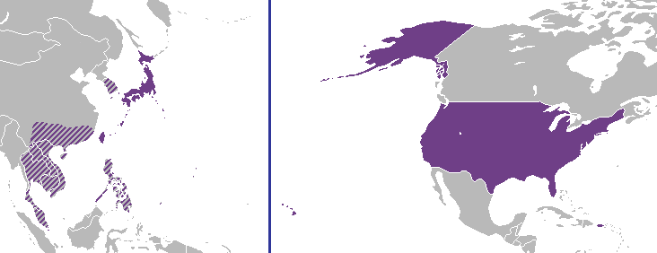
File:Speculative Map of Coruscant (DYOS 12).png
From DYOS Wiki
Jump to navigationJump to searchSpeculative_Map_of_Coruscant_(DYOS_12).png (732 × 282 pixels, file size: 10 KB, MIME type: image/png)
File history
Click on a date/time to view the file as it appeared at that time.
| Date/Time | Thumbnail | Dimensions | User | Comment | |
|---|---|---|---|---|---|
| current | 17:37, 20 July 2015 | 732 × 282 (10 KB) | Thorvald (talk | contribs) | Map of Coruscant's Earth-bound holdings, based on occupied territory circa DYOS 10.5. Category:Political maps |
You cannot overwrite this file.
File usage
The following page uses this file:

